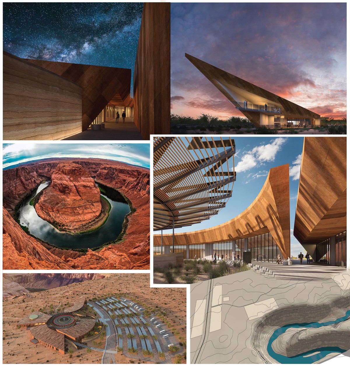
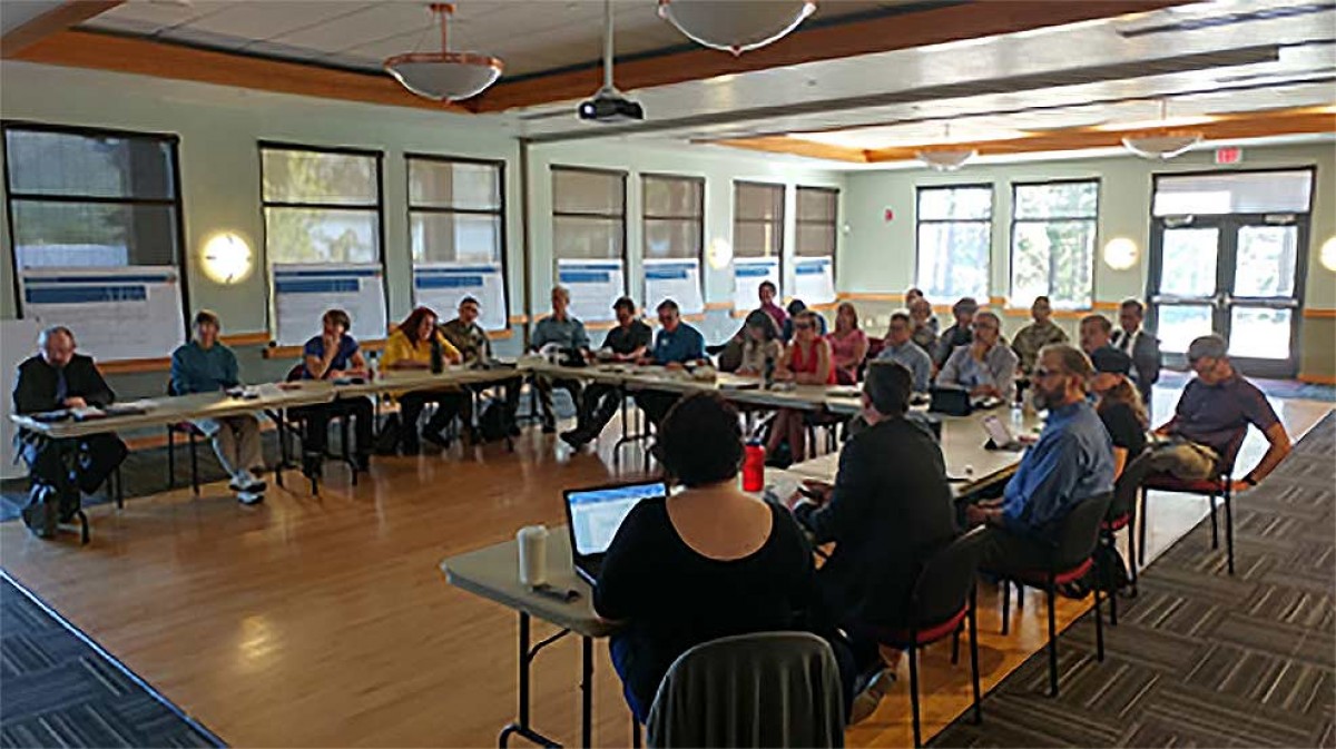
The Development at Horseshoe Bend Includes A Luxurious 5-Star Resort, Cultural Center, 120,000 Square Foot Retail Center, And More! On Thursday, business owners, investors, and marketeers convened at the Twin Arrows Casino outside of Flagstaff, Arizona for the 6th Annual Navajo Nation Economic Summit. Being the 3rd and final day of the conference, events are winding down as the morning sessions…
HUD funds New Homes in Native Communities through NAHASDA and Section 184 Loans For over 40 years, the Southwest Indian Foundation (SWIF) has been providing assistance to the “poorest of the poor” in desert southwest reservation areas (SWIF, 2021). One of SWIF’s programs includes new housing, which is funded through U.S. Housing and Urban Development (HUD)’s Native American Housing and…
ETD Inc. proudly managed the annual indoor air quality (IAQ) testing for all Navajo Nation Gaming Enterprise-owned casinos, ensuring a safe and comfortable environment for both guests and employees. These casinos, vital to the economic development of the Navajo Nation, depend on high standards of air quality to maintain the health and well-being of everyone who enters the facilities. Our…
The ARMP is designed to guide ranchers and farmers in the Navajo Partition Lands (NPL) in managing their land. It sets forth clear goals, objectives, and strategies for range management and conservation. Each ranching and farming operation will develop a customized plan tailored to its specific needs and land conditions. Factors such as seasons, elevation, water availability, and current forage…
The Coconino County Joint Land Use Study (JLUS) is a collaborative effort between Coconino County, the City of Flagstaff, and Camp Navajo Military Depot. This essential project aims to create a policy framework that fosters a thriving economy, vibrant community, and sustainable environment while protecting the military mission at Camp Navajo. By developing a comprehensive strategic plan, the JLUS ensures…
The Oljeto Wash Watershed Restoration Project focuses on revitalizing a historic farming area impacted by severe flooding and overgrazing. Located in a small canyon, the upper reaches of Oljeto Wash are home to farms that have existed since the early 1900s. However, erosion and stream incision now threaten the land. After invasive plant removal, ETD created a restoration plan for…
The Baahaali Chapter Comprehensive Land Use Plan is a community-driven guide for sustainable growth. Its primary goal is to provide clear guidelines for housing, recreation, public facilities, and economic development. The plan supports Baahaali’s vision for future development, ensuring that growth happens in an organized and balanced way. Community Engagement The Land Use Plan was shaped by the input of…
Economic Diversification for Navajo Nation: A Path to Sustainable Growth For many years, coal mining and power generation were the main economic drivers for the Navajo Nation. However, with the closure of the Four Corners Power Plant (FCPP) and Navajo Mine in 2014, and the 2019 shutdown of the Kayenta Mine and Navajo Generating Station (NGS), a major shift occurred.…
In 2016-2017, the Navajo Agricultural Products Industry (NAPI) recognized the need to improve its public relations efforts. As a leading agricultural organization, NAPI faced several challenges, including a general lack of awareness about its mission and long-term goals among key audiences. To address these concerns, a Public Relations Strategy for NAPI was developed. This strategic roadmap focuses on enhancing NAPI’s…
For the past 8 years, ETD has been collaborating with Brown & Caldwell, of Salt Lake City, Utah, on regional water planning projects and water systems improvement projects across the Navajo Nation. The Navajo Nation Water Management Branch (WMB) is responsible for paying for the regional plans. Brown & Caldwell effectively developed the plans in coordination with Navajo Tribal Utility…
Greasewood Springs Chapter selected a parcel of land along Navajo Route 15 to be master planned for several commercial developments. The following developments were specifically identified: a gas station and convenience store, fast food, laundromat, post office, RV park and campground, bus stop, picnic area, local vendor stations, and a parking lot. ETD began master planning by working with the…
The Tolikan Chapter Comprehensive Land Use Plan (CLUP) is a roadmap to the desired future of the community. The purpose is to: (1) improve public involvement through cooperation and understanding. (2) facilitate economic development, public facilities, and housing projects. (3) preserve the landscape and improve the way rangelands are managed; and (4) implement an effective and efficient local government system.…

